Our society has hit a brick wall on education. We are into a state of hopelessness about the decline of educational standards, lifting our heads only to mutter something like: “Well, you know, uh, these kids won’t do what you tell them, and, uh, too many video games. . .”. Decade by decade, we have given over the playing field not just to mediocrity but to institutionalized stupidity.
As a society, we have accepted as the new normal a system wherein our students are unable to do things like figure basic math in their heads, write coherent English sentences, read maps, follow recipes to prepare wholesome foods, or grapple with standard things in a household. The list of incompetencies easily dismays us.
Blessedly, there are those who are fighting back, and many of you reading this belong to those secret and not-so-secret phalanxes. Praise to the Heavens for your battles. Because of you, I feel inordinately positive that we will eventually get things turned around “one child at a time” (as we are wont to say).
But meanwhile, we have a society that glorifies functional incompetence. After all, Alexa will take care of the necessities in our household, from turning on the lights to selecting our music; Uber will deliver our meals; Grammerly will correct our prose. And whatever we don’t know, Siri will tell us.
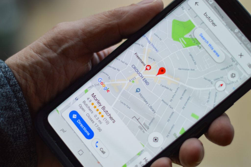
Today, I will blast yet another of those technological servant-masters: GPS. Why bother to learn the layout of where we live? GPS will get us there, and with no mistakes (except for the mistakes GPS habitually makes as we follow blindly).
To my mind, our sweeping dependence on GPS presents an insidiously sharp double-edged sword. I celebrate the advantages. I am happy when Siri tells me where the nearest pharmacy or auto-parts shop is, especially traveling as I do. It’s useful to know when we will arrive at our destinations, and what alternative routes will take us around huge plugs of traffic on the freeway.
But what are we losing in the process? That’s the question that doesn’t get asked. At least not loudly enough. And when I ask it, my answer is: sadly, a great deal.
Let’s take an example. What do we, as human beings lose, as opposed to gain, when the GPS tells us exactly what time we will arrive to visit someone? We know what we gain. We can plan better, as can those whom we visit. But are we not losing our nose for estimating time and space? Do we not let the GPS substitute for our own judgments and assessments about our movements?
Do we not also become more rigid and embroiled in new frustrations when reality doesn’t match the exactitude predicted by the GPS? Are we not eliminating the advantages of spontaneity and creativity? (“I told Mary Beth we’d be there by 7:28 so we cannot stop and read that historical sign!”)
With GPS directing us, too, we no longer need to stop and ask directions. Some people (my husband) rejoice in this fact, but I see it as a human loss. Yes, wrong information can be frustrating, but I would rather risk wrong information to gain the cumulative wisdom of others. After all, a GPS is not going to say, “Oh you don’t really want that post office. The one three miles the other way is so much easier to pull in and out of, and there’s virtually never a line.”
But forgetting these factors, here is my biggest complaint: I dislike the way GPS is turning my brain into marmalade. I’m becoming a zombie when I drive.
My latest proof comes from finally, sheepishly, acknowledging my own poor orientation to the city where I now live, Winston-Salem. We moved here in September 2018. To be fair to myself, I’m out of town more than a third of the year. When I am here, I either stick to my desk or am not at the wheel (for some reason neither my husband nor my daughter finds my safe driving record a sufficient counterbalance to their dislike of my driving style).
Still, this is the first instance in my adult life where I have not hastily imprinted the grid of a new city into my mind. And that is an embarrassment. The only reason I can come up with is my lackadaisical reliance on GPS. Yes, GPS has been useful, especially during our initial weeks here. But weeks have rolled into months and my picture of Winston-Salem’s layout remains pitifully incomplete. I know Budapest better than I know Winston-Salem.
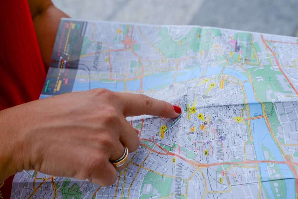
 Why? Because in Budapest (and Warsaw, and Zagreb, and Amsterdam, and everywhere else I work), I use maps. I keep city maps with me and study them both for practical knowledge and for my own entertainment. I plan, plot, consider, and re-consider through each map. Each serves as the primary tool for learning about the city. And no matter how many times I visit, I gain new understanding from the maps.
Here, I did not begin with a paper map, but rather with GPS. These days, you don’t easily go into a filling station and find a rack of paper maps to buy. At least, I did not find maps for Winston-Salem. The State of North Carolina, yes. But not this city.
I looked online and still could not find one. Someone told me AAA makes maps for virtually every city, but just as I was about to investigate that lead, a kind friend hearing my tale of woe mailed me his own map of Winston-Salem.
This map made me so happy. Within minutes of unfolding it, I saw why I have been mixed up when Expressway A intersects Highway B, particularly since Highway C is shut for long-term construction. Also, it turns out I was dead-wrong about how Road D curved and the proximity between Street E and Street F.
In short, by following my GPS, I have been making some pretty dumb driving decisions. But those days are over. I now have a map. I am no longer doomed to a miasma of technologically induced bewilderment as a substitute for what used to be study, learning, and understanding.
Last night, as the sky fell dark, I traversed a new stretch of Winston-Salem going from our granddaughter’s ballet class at University of North Carolina School of the Arts to my choir rehearsal. Siri can chatter all she wishes, but I now have a better way to make this trek.
Maybe, down the road, we as a culture will find the balance between relying on technology’s riches and developing our own minds. For myself, I want to renew my personal battle to lessen my dependence on these devices and give fuel instead to my starving brain cells.
Technology does bring great blessings. One is being able to write directly to you. But allowing technology to be the ever-greater master of my mind has to stop.


Hi Carol,
Once again, you have scored big points with those of us who have lived a little.
Mainly because of my job as a moving estimator, I have to know the streets in the cities I work. I have lived in Northern California most of my life, and like you, established “landmarks” when visiting a place for the first time. I tried to find something that was’t going to be taken down or blow away in the wind for future reference.
However, growth persists, and new streets keep propping up. As a result, I need GPS for those situations. New streets don’t always lend to finding landmarks, at least not around here, as city planners figure everyone will use GPS, so the streets often look like they were cut from a cookie cutter.
When we travel, things are different. My wife and I just got back from the Big Island of Hawaii, where we spent a week with my sister and her husband (they all said to say HI).
The good news is the place is an island, so there is only a little room to get REALLY lost. But, it helps to know where you are going, and there isn’t always a friendly guide to take you there. GPS was a big help , and it was very comical to listen to the GPS try to pronounce those long Hawaiian street names!
My technological frustration is with spell check. Sometimes I wonder who put the dictionary together, as the spelling often comes out British-like. Ditto with auto-correct. It only THINKS it knows what I am going to write, but gets in my way anyway!
We aren’t planning any European trips this year, but will be headed back in your direction. In mid-May, the whole family (sans Matt, who will be working) will spend two weeks in New Orleans! Fina and I have never gone (we had a trip planned wiped out when Katrina hit two weeks before we were supposed to leave), but my Mom and Sue have gone a few times.
We are thinking of another European vacation in a few years, but haven’t decided on a final destination yet. Once we do, I may be contacting you for places to see.
Thanks again for your columns. I do enjoy them!
Best to you,
Bob LeFevre
I have found a similar experience during our recent move and I too needed the physical map before I had any spacial orientation in my head of my new location. Thanks for expressing my experience so well!
Amen Professor Carol! I like to keep my mind sharp too, but as I don’t do much driving these days (cataracts) reading maps hasn’t been a pastime of late (if we could even get maps ~ they don’t have them in gas stations anymore). Thanks for another great post ~ I always enjoy them!
In His grace, Kay (in VA)
Amen to all that was written on the subject. I am a big fan of knowing one’s environs and enjoying the beauty therein. Bravo
I live in a semi-rural area where only a few years ago a tragic young family (computer geeks) used their GPS only on a snowy night and got lost and stuck in a massive snow storm for a week. The husband died going out to try and get help. Only massive helicopter searches finally found the mother and child. They had decided at night in a snow storm to take a route over the mountains to get to the coast. Google Maps showed it as okay. It was actually an summer-only logging road. The online companies have since revised their information. Too late for them.